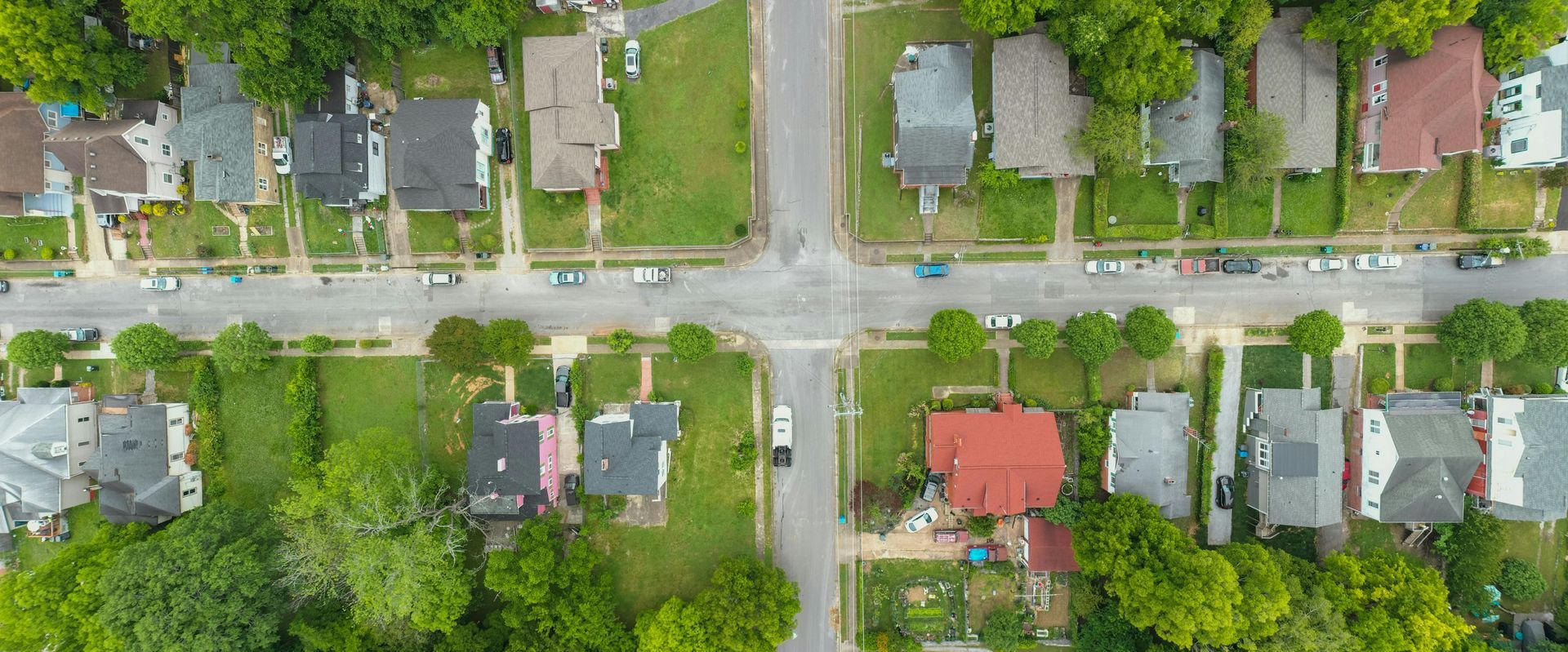
Infrastructure Built Before Homes Arrive
Neighborhood Development in The Tri-Cities for residential communities requiring utilities, roads, and lot preparation from raw land to build-ready sites
Turning agricultural land into residential neighborhoods means coordinating utility companies that work on different schedules, obtaining easements before trenching can begin, and phasing construction so finished roads aren't damaged by heavy equipment still working on later phases. The entire sequence from initial survey to final lot grading involves dozens of inspections, permits from multiple agencies, and construction activities that must occur in a specific order because each phase enables the next. RCP Construction manages neighborhood development projects throughout The Tri-Cities, handling the planning and coordination that transforms undeveloped parcels into subdivisions ready for home construction.
Land development starts with engineering plans that establish lot layouts, road alignments that meet grade requirements for drainage and emergency vehicle access, and utility routing that provides water, sewer, electric, and gas service to each buildable lot. The work progresses through clearing and rough grading to establish overall site drainage, installing underground utilities before roads are built, constructing roads with base materials and temporary surfaces that can handle construction traffic, and finishing each lot with final grading that directs water away from building pads.
Arrange a development consultation to review your land parcel, timeline expectations, and infrastructure requirements for residential community construction.
What Changes After Infrastructure Is Completed
Large-scale development projects require managing multiple contractors who specialize in different infrastructure components—clearing and grading contractors, utility installation crews, road building teams, and erosion control specialists all work in sequence across the site. Coordination means ensuring survey stakes remain protected so lot boundaries stay accurate, scheduling utility rough-ins so trenches are backfilled before road base installation begins, and inspecting each phase before the next covers it permanently. Stormwater management installations must be functional before significant grading disturbs natural drainage patterns, and erosion control measures need maintenance throughout construction as seasonal weather tests their effectiveness.
When development reaches completion, roads provide all-weather access for construction vehicles and future residents, underground utilities terminate at each lot with marked service locations, drainage systems move stormwater away from building sites toward retention areas or outfalls, and individual lots have finished grades that prevent water from pooling where homes will sit. Builders can begin foundation work immediately because lots are prepared to specifications that passed final inspections.
Development projects span months or years depending on size, with distinct phases that allow portions of the neighborhood to receive occupancy permits while other sections remain under construction. This phased approach generates revenue for developers sooner and reduces carrying costs, but requires careful planning so early-phase residents aren't disrupted by ongoing construction activity in later phases.
What Property Owners Usually Ask
Developers and investors considering residential subdivision projects need realistic information about timelines, regulatory requirements, and how site conditions affect development costs.
What happens during the planning phase before physical work begins?
Planning involves topographic surveys that identify existing elevations and drainage patterns, geotechnical investigations that assess soil conditions for road and utility construction, environmental assessments required for wetlands or protected species, civil engineering to design infrastructure layouts, and permit applications submitted to county and state agencies in The Tri-Cities region.
How do soil conditions affect neighborhood development costs?
Rocky soils increase excavation costs for utility trenches and require more aggressive equipment for grading, poor-draining clay soils need additional base material for stable road construction, high water tables may require deeper drainage systems or lot fill to raise building pads, and expansive soils require engineered solutions for road bases and building foundations.
What utilities must be installed before lots can be sold or built on?
Water distribution lines with fire hydrants at code-required spacing, sanitary sewer collection systems with properly sloped pipes and manholes, electric service infrastructure including transformers and lot service points, gas distribution if available in the area, and stormwater management systems that handle runoff from impervious surfaces created by development.
How are roads built to handle both construction traffic and permanent use?
Base construction uses compacted aggregate materials designed for heavy vehicle loads, temporary asphalt surfaces protect the base during home construction phases while allowing modification if utility repairs become necessary, and final surface layers are installed after most construction traffic ends to prevent premature pavement damage.
When do lots receive final grading and approval for building permits?
Final grading occurs after roads reach their permanent elevation and utility rough-ins are complete and inspected, individual lot inspections verify proper drainage away from building pads, and building permits can be issued once development infrastructure passes all required inspections and bonds are released or reduced by the governing jurisdiction.
RCP Construction coordinates the engineering, permitting, and construction activities that transform raw land into build-ready residential neighborhoods, managing timelines and inspections across every infrastructure component. Contact us to discuss your development project scope, site characteristics, and how our land development services apply to your specific community vision.